What is GPS and how does it work? Here’s everything you need to know
In today’s modern world, GPS plays a crucial role in our daily lives. From navigation to fitness trackers, this system provides us with valuable information about location and movement. Whether you’re on the go, tracking sports activities, or simply using your phone to navigate, GPS is everywhere. In this article, we’ll take an in-depth look at what GPS means, how it works, and what it’s used for.
1. What does GPS mean?
The question “What does GPS mean?” is often asked, and the answer is simple: GPS stands for Global Positioning System. It’s a worldwide navigation system that uses satellites to determine the exact location of an object. The GPS abbreviation refers to this system, which was originally developed by the U.S. Department of Defense. Today, however, it’s also used commercially and by civilians. GPS has had a major impact on how we navigate, both in our personal and professional lives.
The meaning of GPS becomes clear when you understand how it works. GPS uses a network of at least 24 active satellites that orbit the Earth. These satellites transmit signals that are picked up by a GPS receiver, such as the one in your smartphone, navigation system, or GPS tracker. Thanks to the data transmitted by these GPS satellites, your location can be determined with great accuracy. So, what does GPS stand for? It’s a technology based on satellite signals that determines locations on Earth. It’s a system that is available worldwide and allows you to determine your position at any given time. Here you can also read about the difference between GPS and GPRS.
2. What is GPS used for?
GPS is used in a wide variety of applications, ranging from personal navigation to scientific research. The GPS signal transmitted by the satellites can be picked up by a GPS receiver in a car, smartphone, or wearable device. It is often used for:
- Navigation while driving: GPS is the backbone of navigation apps such as Google Maps and Waze, which offer real-time route information and traffic updates.
- Finding hiking routes in nature areas: GPS is increasingly used by hikers and climbers to follow their route in unfamiliar terrain.
- Monitoring vehicles and cargo: GPS makes it possible to track vehicles in real time, which is useful for companies managing fleets.
- Sports and fitness activities: Many athletes use GPS to track their performance, such as distance covered or speed.
- Wearables and GPS trackers: GPS is used in wearables such as fitness trackers, watches, and other portable devices, enabling people to track activities and determine their location.
- Search and rescue missions: In emergencies, GPS is used by rescue services to quickly determine locations and find victims.
It’s clear that GPS is now an integral part of our daily lives and is used not only for personal navigation but also for professional and scientific purposes.
3. GPS accuracy
One of the key benefits of GPS is its high level of accuracy. Thanks to modern GPS technology, your location can be determined with a margin of error of only a few meters. This is made possible through the use of multiple satellites that work together to triangulate a position.
However, GPS accuracy can vary depending on environmental factors such as tall buildings, mountains, or poor weather conditions. In urban areas, for example, tall buildings can block or reflect the signal, reducing accuracy. Still, GPS remains one of the most reliable location systems in the world.
4. How does a GPS signal work?
A GPS signal is transmitted by satellites and contains important information such as the time and location of the satellite. A GPS receiver on Earth receives these signals and uses them to calculate the distance to multiple satellites.
To determine your exact location, signals from at least four satellites are needed. This process is called triangulation. The GPS receiver combines the information from these signals and calculates your precise position. Thanks to the high precision of these signals, even small movements in location can be detected. This makes GPS ideal for a wide range of applications, from navigation to tracking sports performance.
5. Who invented GPS?
The GPS system was originally developed by the U.S. military in the 1970s. It was created as a navigation tool to help U.S. troops determine their location anywhere in the world, even in remote areas. The system was initially designed strictly for military use, but in the 1980s, it was made publicly available for civilian use.
The design and development of GPS are largely attributed to the U.S. Department of Defense, with important contributions from engineers and scientists. One person often credited as a key figure in the development of GPS is Dr. Bradford Parkinson, known as the “father of GPS.” His work resulted in a technology now used worldwide and essential to modern navigation.
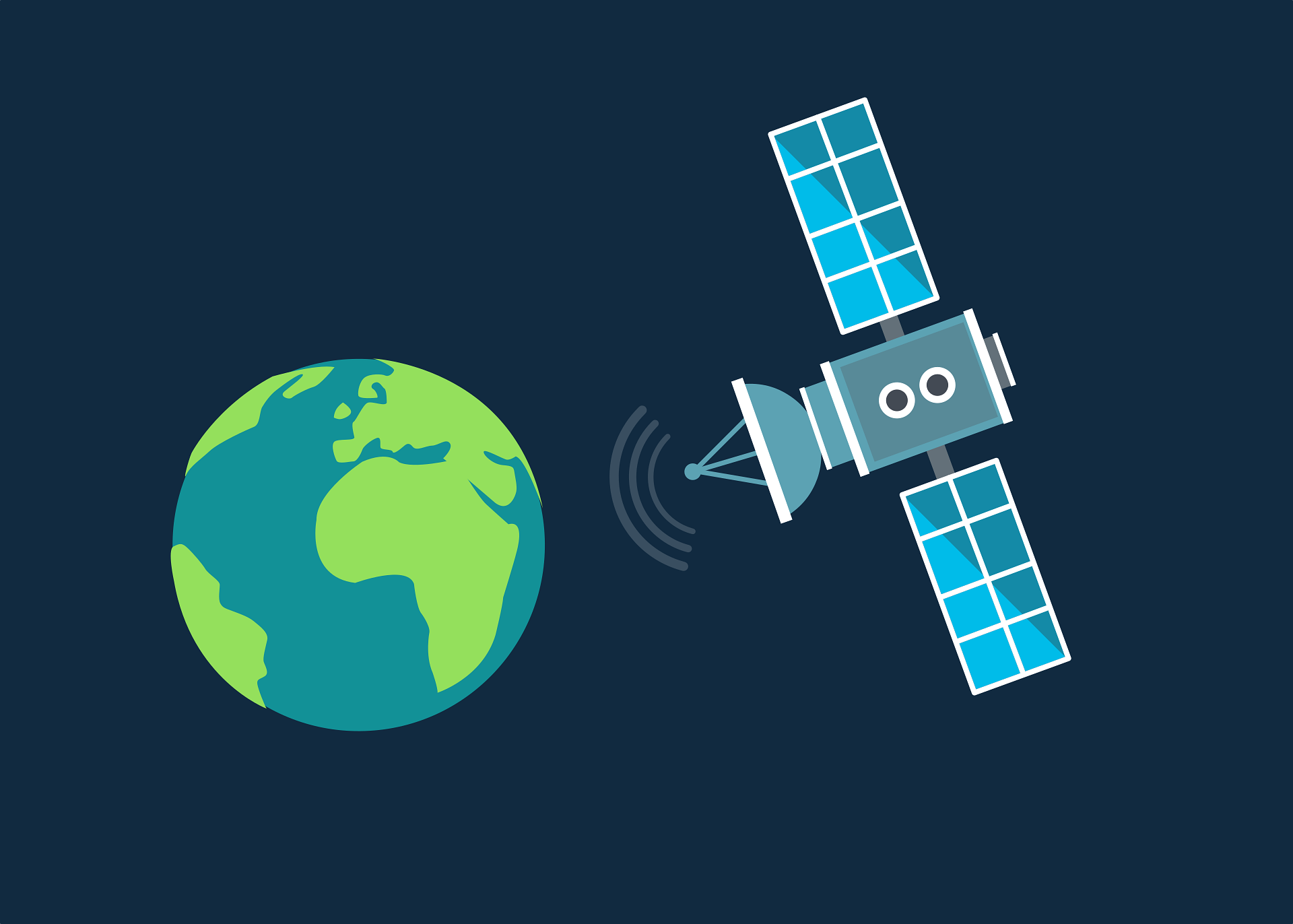
6. More about GPS satellites
GPS satellites play a central role in the system’s operation. These satellites orbit the Earth at an altitude of about 20,200 kilometers (around 12,500 miles). There are currently 31 active satellites in the GPS network, although only 24 are required to keep the system operational.
To determine a location, a GPS receiver uses signals from at least four satellites. These signals are combined to accurately calculate your position. So how many satellites are needed for GPS? Ideally, at least four, but the more satellites available, the more accurate the calculation. This makes GPS highly reliable—even in areas where multiple satellites may not always be visible.
7. What is GPS on your mobile phone?
Most modern smartphones are equipped with built-in GPS functionality. This means your phone acts as a GPS receiver, allowing it to determine your location with great accuracy. This feature is often used for navigation apps such as Google Maps or Waze, helping you find the fastest route to your destination.
However, GPS on your phone offers more than just navigation. It’s also used to track your sports performance, such as measuring distance or speed during running or cycling. In addition, apps like Find My iPhone can help you recover a lost device. Location-based services are another common use of mobile GPS, offering personalized recommendations based on your location.
8. What does WAAS mean?
WAAS stands for Wide Area Augmentation System. This system was designed to improve GPS accuracy in North America. It uses ground stations to send additional correction signals to GPS receivers, making location tracking even more precise.
WAAS mainly affects GPS accuracy in North America, but similar systems exist in other parts of the world—such as EGNOS in Europe. These systems ensure that GPS can maintain high accuracy worldwide, even in more remote areas where signals may be weaker.
9. How accurate is GPS speed?
GPS not only determines locations but can also measure speed. This is done by analyzing small time differences in the received signals. The accuracy of GPS speed is often better than that of traditional vehicle speedometers, as GPS offers a more direct and advanced method of calculating speed.
A GPS receiver can measure speed with a margin of error of only 0.2 to 0.5 km/h under ideal conditions. This makes GPS a reliable technology for applications such as sports tracking and speed control in vehicles. The ability to measure speed without physical sensors makes the system flexible and effective.
10. Who operates the GPS system?
The GPS system is operated by the U.S. government, specifically the Department of Defense. Originally developed for military use in the 1970s, it has been available for civilian use since the 1980s. The system is maintained by the United States Space Force, which manages the satellites in orbit. Although the U.S. has primary responsibility for GPS, it works with other countries and organizations to improve coverage and reliability. These systems are interoperable with GPS and contribute to global coverage. The system is supported by a worldwide network of ground stations that continuously receive and process satellite data to ensure GPS accuracy. This collaboration makes GPS an essential system for both civilian and military applications across the globe. In short: GPS is managed by the U.S. government, but global coverage is enhanced through international cooperation and systems that together ensure reliable positioning.
« Terug