What does GPS mean and how does it work? Everything you need to know
In today’s modern world, GPS plays a crucial role in our daily lives. From navigation to fitness trackers, this system provides valuable information about location and movement. Whether you are traveling, tracking your sports activities, or simply using your phone to navigate, GPS is everywhere. In this article, we explain in detail what is GPS, how it works, and what it is used for.
1. What does GPS mean?
The question “what does GPS mean?” is asked often, and the answer is simple: GPS stands for Global Positioning System. It is a worldwide navigation system that uses satellites to determine the exact location of an object. The abbreviation GPS refers to this system, originally developed by the U.S. Department of Defense. Today, however, it is also widely used commercially and for civilian purposes. GPS has had an enormous impact on the way we navigate, both in our personal and professional lives.
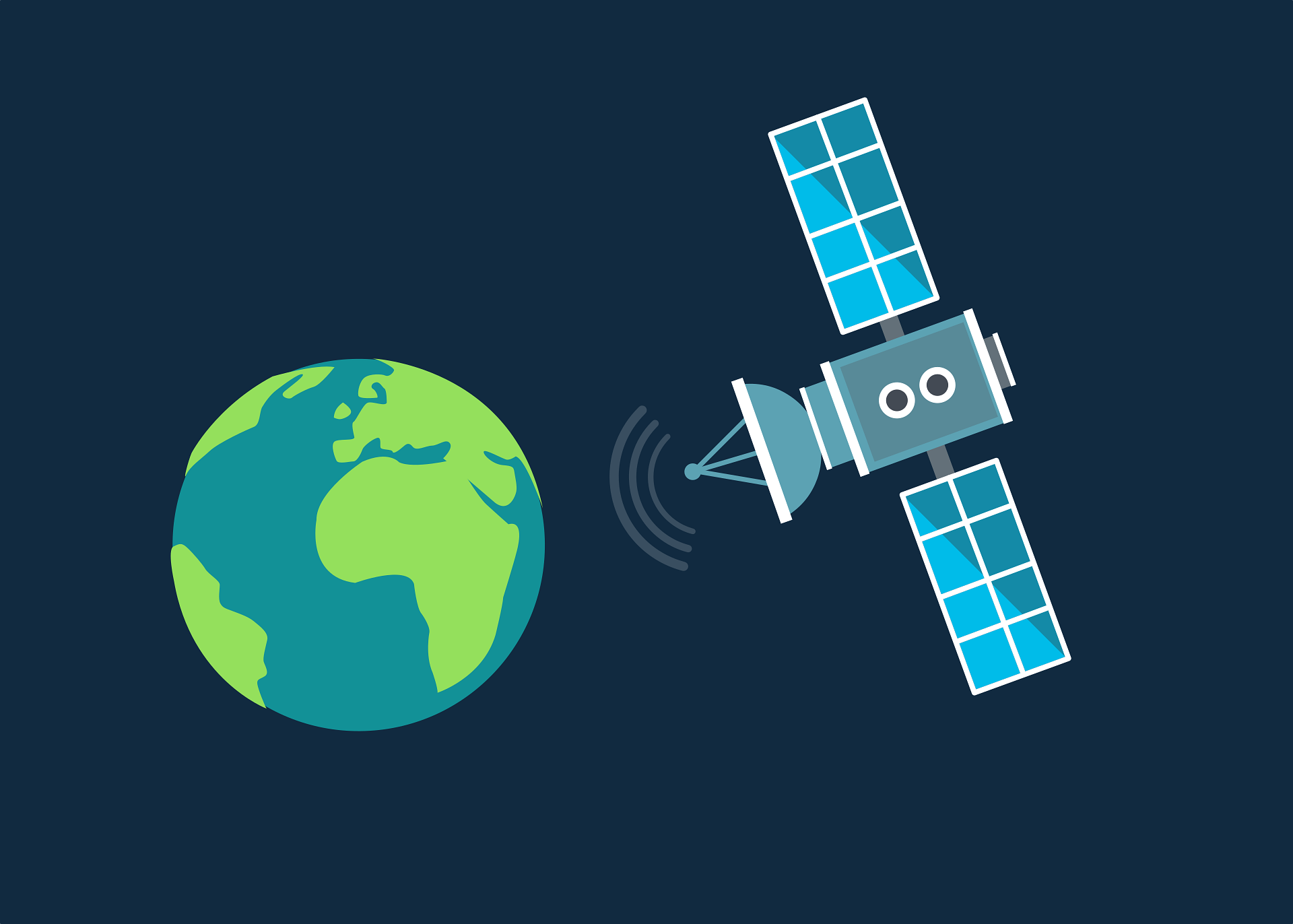
The meaning of GPS becomes clearer when you look at how it functions. GPS relies on a network of at least 24 active satellites orbiting the Earth. These satellites send out signals that are picked up by a GPS receiver, such as the one in your smartphone, navigation device, or a GPS tracker. With the data transmitted by these satellites, you can pinpoint your exact position. In short, GPS is a technology based on satellite signals that allows you to determine your location anywhere on Earth.
2. What is GPS used for?
GPS has countless applications, ranging from personal navigation to scientific research. The signals broadcast by satellites can be received by GPS devices in cars, smartphones, or wearables. Common uses include:
- Navigation while driving: GPS is the backbone of apps like Google Maps and Waze, which provide real-time route guidance and traffic updates.
- Hiking and exploring nature: GPS is widely used by hikers and mountaineers to follow trails in unfamiliar terrain.
- Vehicle and fleet monitoring: Businesses can use GPS to track vehicles in real time, improving efficiency and safety.
- Sports and fitness tracking: Athletes use GPS to measure distances, speed, and performance.
- Wearables and GPS trackers: Devices like fitness trackers and smartwatches use GPS to track activities and location.
- Search and rescue operations: Emergency services use GPS to quickly locate people in distress.
It’s clear that GPS has become an integral part of everyday life, not just for personal navigation but also for professional and scientific purposes.
3. Accuracy of GPS
One of the main advantages of GPS is its high level of accuracy. With modern GPS technology, your position can be determined within a margin of just a few meters. This precision comes from multiple satellites working together to triangulate your location.
Accuracy can vary depending on environmental factors such as tall buildings, mountains, or severe weather. In urban areas, for example, skyscrapers may block or reflect signals, which reduces accuracy. Even so, GPS remains one of the most reliable global positioning systems available.
4. How does a GPS signal work?
A GPS signal, sent by satellites, contains key information such as the time and the satellite’s position. A GPS receiver on Earth captures these signals and calculates the distance to several satellites.
To determine your exact position, signals from at least four satellites are needed. This process is called triangulation. The receiver processes the information and calculates your coordinates. Because of the precision of these signals, even small movements can be detected. This makes GPS ideal for everything from navigation to sports performance tracking.
5. Who invented GPS?
The GPS system was originally developed by the U.S. military in the 1970s as a navigation tool, allowing troops to determine their position anywhere in the world, even in remote locations. Initially intended solely for military use, it was made available for civilian applications in the 1980s.
The design and development of GPS can largely be credited to the U.S. Department of Defense, with significant contributions from engineers and scientists. One of the key figures often referred to as the “father of GPS” is Dr. Bradford Parkinson. His work resulted in a technology that is now used worldwide and has become essential for modern navigation.
6. More About GPS Satellites
GPS satellites play a central role in how the system works. These satellites orbit the Earth at an altitude of about 20,200 kilometers. At present, there are 31 active satellites in the GPS network, although a minimum of 24 is required to keep the system operational.
To determine a location, a GPS receiver uses signals from at least four satellites. These signals are combined to calculate your position accurately. So, how many satellites are needed for GPS? Ideally, at least four, but the more satellites available, the more accurate the calculation becomes. This makes GPS particularly reliable, even in areas where multiple satellites may not always be accessible.
7. What is GPS on Your Mobile?
Most modern smartphones are equipped with built-in GPS functionality. This means your phone acts as a GPS receiver, allowing your location to be determined with high precision. This feature is often used for navigation apps such as Google Maps or Waze, which help you find the fastest route to your destination.
But GPS on your mobile offers more than just navigation. It’s also used to track your sports performance, such as measuring distance or speed while running or cycling. Apps like Find My iPhone can help you recover a lost device, while location-based services can provide personalized recommendations based on your whereabouts.
8. WAAS Explained
WAAS stands for Wide Area Augmentation System. This system was designed to improve GPS accuracy in North America. It relies on ground stations that send additional correction signals to GPS receivers, making location determination even more precise.
WAAS mainly affects accuracy in North America, but similar systems exist in other parts of the world, such as EGNOS in Europe. These systems ensure GPS remains highly accurate worldwide, even in more remote areas where signals may be weaker.
9. How Accurate is GPS Speed?
GPS can determine not only location but also speed. This is achieved by analyzing tiny differences in the timing of signals received. GPS speed accuracy is often better than that of traditional vehicle speedometers, as GPS provides a more direct and advanced method of calculation.
Under ideal conditions, a GPS receiver measures speed with a margin of error as low as 0.2 to 0.5 km/h. This makes GPS a reliable technology for applications such as sports tracking and speed monitoring in vehicles. The ability to measure speed without physical devices makes the system flexible and highly effective.
10. Who Manages the GPS System?
The GPS system is managed by the U.S. government, specifically the U.S. Department of Defense. Originally developed for military purposes in the 1970s, it has been available for civilian use since the 1980s. The system is maintained by the United States Space Force, which is responsible for managing the satellites in orbit.
Although the U.S. has primary control over GPS, they collaborate with other countries and organizations to enhance coverage and reliability. Other satellite systems, such as GLONASS (Russia), Galileo (Europe), and BeiDou (China), are interoperable with GPS and contribute to global coverage.
The system’s operation is further supported by worldwide ground stations that constantly collect and process satellite data to ensure accuracy. This collaboration makes GPS an essential system for both civilian and military applications worldwide. In short, GPS is managed by the U.S. government, but its global coverage is reinforced through international cooperation, ensuring dependable location services everywhere.
« Terug